Depok, August 31, 2026 — Researchers from the Faculty of Mathematics and Natural Sciences, Universitas Indonesia (FMIPA UI), have developed a method capable of identifying tsunamis caused by volcanic landslides directly from seismic signal recordings within less than three minutes of the event. The method is designed to complement the national tsunami early warning system, which has traditionally relied on parameters associated with tectonic earthquakes. The three-minute rapid detection target refers to the operational requirements of the Meteorology, Climatology, and Geophysical Agency (BMKG), which stipulate that the first Tsunami Early Warning must be issued within less than three minutes of the event.
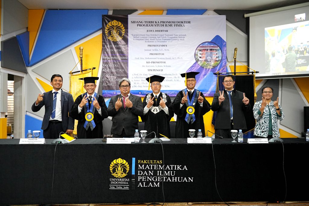
The research was conducted by Januar Arifin, a doctoral candidate in the Physics Study Program at FMIPA UI, through his dissertation entitled “Characterization and Rapid Detection of Non-Seismic Tsunamis Caused by Volcanic Landslides for Strengthening Early Warning Systems: A Case Study of the December 22, 2018 Anak Krakatau Tsunami”.
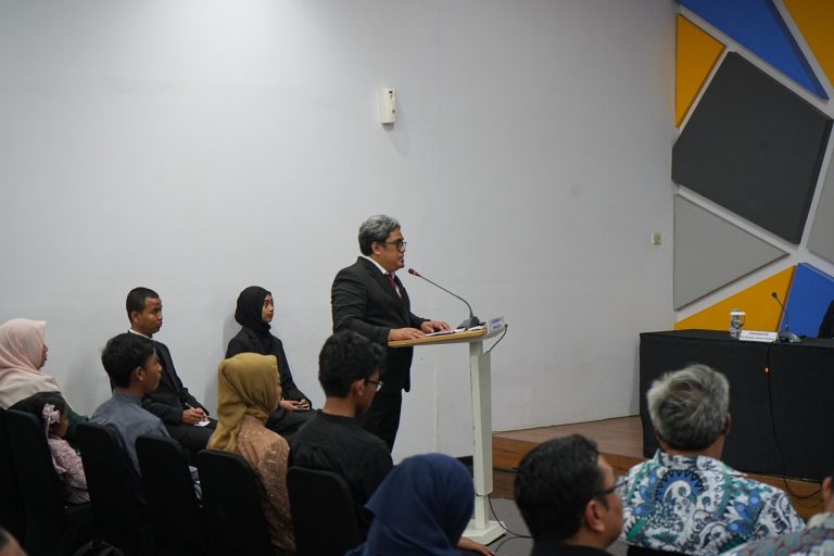
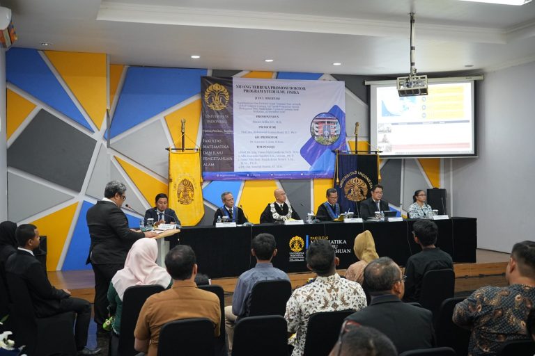
Januar defended his dissertation during the FMIPA UI Doctoral Promotion at the Prof. G.A. Siwabessy Auditorium, FMIPA UI, Depok, on Thursday (August 27, 2026). He completed his doctoral studies in 10 semesters with a cumulative grade point average (GPA) of 3.98 and graduated with the distinction of Very Satisfactory.
The research was motivated by the challenge of non-seismic tsunamis, which can occur rapidly, affect localized areas, and are not always preceded by clear earthquake parameters. This poses a challenge for early warning systems, as the tsunami detection chain generally begins with the identification of earthquake parameters.
The December 22, 2018 Sunda Strait tsunami serves as a significant lesson. The waves, triggered by the collapse of part of Mount Anak Krakatau, killed 437 people and affected more than 300 kilometers of coastline, without being preceded by a significant earthquake that could have activated the BMKG tsunami early warning system. The 2018 Sunda Strait tsunami is a rare example of a non-seismic tsunami that can remain difficult to detect yet pose an extremely serious threat, underscoring the need to develop early warning systems for tsunami sources beyond tectonic earthquake activity.
“The experience of the 2018 Sunda Strait tsunami demonstrated that we cannot rely solely on earthquake parameters to detect tsunamis. Therefore, this research seeks to identify the distinctive characteristics of volcanic landslide signals and correlate them with changes in sea level, enabling non-seismic tsunami events to be detected more rapidly,” said Januar.
In his research, Januar developed three interconnected approaches. First, he distinguished seismic signals generated by landslides from those caused by tectonic earthquakes using the Random Forest machine learning method and features extracted through Frequency-Time Analysis (FTAN).
Second, the research examined wave characteristics in tsunami tide-gauge records, including the influence of local water resonance on wave amplification. Third, the study optimized high-frequency tide-gauge data processing to support faster tsunami detection.
The research findings showed that the FTAN features achieved a recall of 0.941 for the landslide class and 0.995 for the earthquake class. In an independent test with a 180-second, or three-minute, time limit from the occurrence, in accordance with BMKG’s rapid detection standard, all 12 signal traces were successfully classified as landslide signals.
Landslide signals also exhibit characteristics distinct from those of earthquakes. Their energy is not released as a single impulsive burst but develops gradually as the momentum of the moving landslide material changes. As a result, the researchers identified distinctive features in the recordings, including an envelope with more widely distributed energy, slower dominant energy, stronger spindle-coda morphology, and a lower apparent group velocity in the FTAN compared with tectonic earthquake signals.
On the ocean-wave side, the research showed that the harmonic structure of landslide-generated tsunamis can be amplified when one of its components matches the natural (eigen) period of coastal waters. This condition means that relatively enclosed coastal areas may experience stronger resonance and more persistent wave oscillations than open coastlines. In other words, tsunami hazards are determined not only by the height of the incoming waves but also by the characteristics of the body of water they impact.
Januar said that the research findings could contribute to the development of an early warning system that is more adaptive to various tsunami-generating sources. The ability to detect such events within a shorter time frame is considered crucial, as local tsunamis can reach coastal areas relatively quickly.
“I hope the findings of this research can contribute to strengthening the national tsunami early warning system, particularly for tsunamis triggered by volcanic landslides. The sooner the source and characteristics of a tsunami can be identified, the greater the opportunity for people in coastal areas to have sufficient time to evacuate,” said Januar.
The research also compared the characteristics of tsunamis triggered by volcanic landslides with the 2022 Hunga Tonga–Hunga Ha’apai meteotsunami, which is also classified as a type of volcanotsunami. The findings showed that landslide-generated tsunamis exhibited a harmonic series with energy content extending up to approximately three minutes, whereas the meteotsunami displayed a single sharp peak at around 40 minutes.
From an instrumentation perspective, the research recommends a data sampling rate of 3–5 seconds, compared with the conventional 60-second interval, to enable faster detection of non-seismic tsunamis. The processing is complemented by an adaptive moving-average filter calibrated based on the characteristics of local coastal noise.
This approach is relevant to the need to strengthen Indonesia’s tsunami early warning system. The Meteorology, Climatology, and Geophysical Agency (BMKG) has developed the Indonesia Tsunami Non-Tectonic (InaTNT) system, which includes integrating sea-level observation data and providing automated detection capabilities for sea-level anomalies indicative of tsunamis.
In this context, Januar’s research offers a new multi-instrument detection approach that combines seismic signal analysis, ocean-wave characteristics, and tide-gauge data processing. The findings could serve as a scientific basis for improving the identification of tsunamis generated by sources other than tectonic earthquakes.
Indonesia faces tsunami hazards from various sources. In addition to tectonic activity, tsunamis can be triggered by landslides, volcanic activity, and other non-seismic phenomena. BMKG has cited the 2018 Palu and Sunda Strait tsunamis as reminders that early warning systems need to be capable of addressing tsunamis originating from diverse sources.
The chair of Januar Arifin’s doctoral promotion examination was Prof. Anom Bowolaksono, Ph.D., Vice Dean for Education, Research, and Student Affairs at FMIPA UI. The research was supervised by Prof. Drs. M. Syamsu Rosid, M.T., Ph.D., from the Department of Physics, FMIPA UI, with Dr. Karyono, S.Kom., M.Kom., from the College of Meteorology, Climatology, and Geophysics (STMKG), BMKG, serving as co-supervisor.
This research is expected to complement the existing early warning system, which has primarily focused on tsunamis caused by tectonic earthquakes. With faster detection and an approach that takes into account the characteristics of tsunami sources, warning information is expected to become available earlier, giving coastal communities more time to evacuate.