Isu kebencanaan dan degradasi lingkungan kembali mengemuka seiring meningkatnya frekuensi bencana alam di Indonesia dalam beberapa tahun terakhir. Kondisi ini menegaskan pentingnya penguatan peran ilmu geosains dalam mendukung perencanaan pembangunan nasional yang berkelanjutan serta berbasis mitigasi risiko.
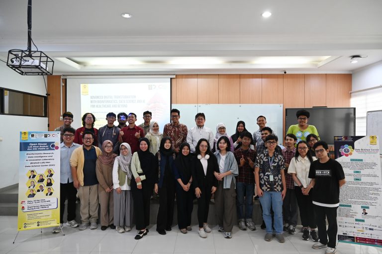
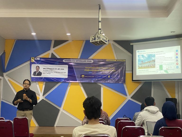
Menjawab tantangan tersebut, Fakultas Matematika dan Ilmu Pengetahuan Alam Universitas Indonesia (FMIPA UI) menggelar seminar mingguan bertajuk UI Geoscience Seminar x STARBORN Mengajar 2026 dengan tema Geosains Lingkungan untuk Pembangunan Berkelanjutan. Kegiatan ini berlangsung pada Senin (27/4/2026) di Aula Prof. Dr. G.A. Siwabessy, Kampus FMIPA UI, Depok, dan diikuti mahasiswa program studi geologi serta geofisika.
Seminar menghadirkan Dita Arif Yuwana, S.T., M.T., M.A. Penyelidik Geologi Pusat Air Tanah dan Geologi Tata Lingkungan, Badan Geologi, Kementrian ESDM, sebagai narasumber utama. Dalam paparannya, ia menyoroti posisi Indonesia yang berada di kawasan Ring of Fire, yang menjadikan negara ini kaya sumber daya alam sekaligus rentan terhadap bencana geologi.
“Indonesia berada di kawasan yang sangat dinamis secara geologi. Potensi sumber daya alamnya besar, namun di saat yang sama risiko bencananya juga tinggi. Hal ini perlu dikelola dengan pendekatan geosains yang tepat,” kata Dita.
Ia menjelaskan, risiko bencana tidak semata ditentukan oleh besarnya ancaman (hazard), tetapi juga dipengaruhi tingkat kerentanan (vulnerability) dan kapasitas (capacity) masyarakat.
“Risiko merupakan hasil interaksi antara hazard, vulnerability, dan capacity. Jika salah satu tidak dikelola dengan baik, maka risiko akan meningkat. Di sinilah pentingnya intervensi berbasis ilmu pengetahuan,” ujarnya.
Lebih lanjut, ia menekankan pentingnya regulasi penataan ruang yang mengintegrasikan aspek mitigasi bencana. Sejumlah studi kasus di Palu, Pangandaran, dan Maluku Tengah menunjukkan karakteristik risiko yang berbeda di tiap wilayah.
Melalui metode seperti mikrotremor, geolistrik, Ground Penetrating Radar (GPR), serta analisis berbasis Geographic Information System (GIS) dan Analytical Hierarchy Process (AHP), tim peneliti dapat menyusun peta risiko bencana sebagai dasar rekomendasi tata ruang.
“Dari analisis tersebut dapat ditentukan zona yang layak dibangun dan yang sebaiknya dihindari. Bahkan, dalam kondisi tertentu diperlukan relokasi untuk mengurangi risiko di masa depan,” imbuhnya.
Dalam sesi diskusi, peserta juga menyoroti fenomena penurunan muka tanah di wilayah Sungai Cilincing. Menanggapi hal itu, Dita menjelaskan bahwa fenomena tersebut dipicu kombinasi faktor geologi alami dan aktivitas manusia, terutama eksploitasi air tanah berlebihan.
“Penurunan muka tanah tidak terjadi secara tiba-tiba. Faktor geologi berperan, namun aktivitas manusia seperti pengambilan air tanah secara masif turut mempercepat proses tersebut,” katanya.
Ia juga memaparkan metode penyusunan peta risiko pascabencana yang memanfaatkan teknik overlay berbasis GIS dan AHP.
“Kami mengintegrasikan data hazard, vulnerability, dan capacity dalam satu sistem analisis, sehingga peta risiko yang dihasilkan dapat menjadi dasar pengambilan keputusan yang lebih akurat,” ujarnya.
Melalui kegiatan ini, FMIPA UI berharap pemanfaatan geosains dalam perencanaan pembangunan semakin optimal, sekaligus meningkatkan kesadaran akan pentingnya mitigasi bencana di tengah dinamika lingkungan yang kian kompleks.