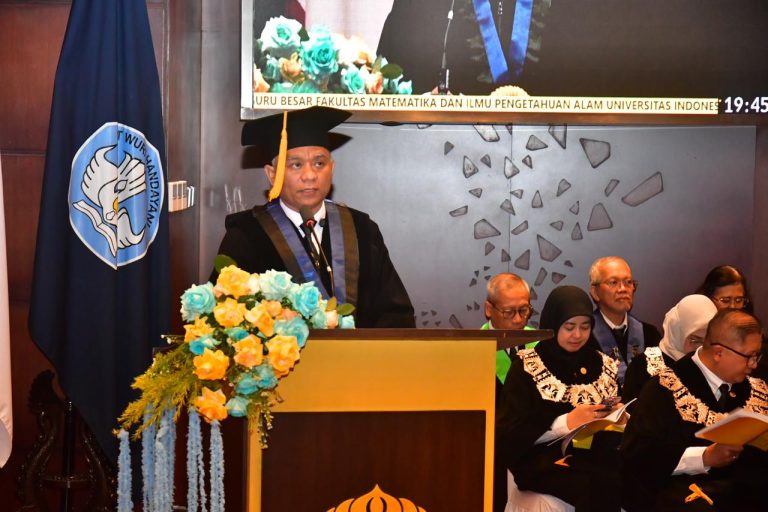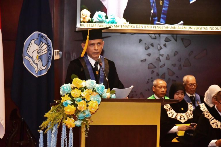

Thursday (24/11/2016), located in Building B Room 101, the Department of Geography, Faculty of Mathematics and Natural Sciences, UI and the Student Association of the Department of Geography, held a National Seminar with the theme “Realizing Sustainable National Development Space Integration”. This seminar is part of the series of events“8th Annual Geography Days”and the 57th Anniversary of Geography, FMIPA UI, in collaboration with the Directorate of Toponyms and Inter-Regional Boundaries, Directorate General of Regional Administration Development, Ministry of Home Affairs, and the Geospatial Information Agency. This event was opened by Dr. Rokhmatuloh, M.Eng., as Deputy Dean II of the Faculty of Mathematics and Natural Sciences, UI.
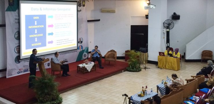
Present as speakers in this seminar wereDr. Tumpak Haposan S., MA(Director of Toponymy and Inter-Regional Boundaries, Directorate General of Territorial Administration, Ministry of Home Affairs),Beni Hermawan,S.Si.M.Si. ( Directorof Coastal Areas, Small Islands, Borders, and Certain Areas, Directorate General of Agrarian Affairs, Ministry of Agrarian Affairs and Spatial Planning),Dr. Priyadi Kardono(Geospatial Information Agency),Prof. Dr. Ir. Hasanuddin Zaenal Abidin, M.Sc.(Dean of the Faculty of Earth Sciences and Technology, ITB),, Dr.rer.nat. Eko Kusratmoko, M.Si.(Head of the Department of Geography ,FMIPA UI).
This seminar was motivated bythecurrent issue of territorial boundaries, which is very vulnerable, especially regarding the boundaries of villages in Indonesia, which can have negative consequences. Likewise, territorial boundaries with neighboring countries are vital objects in national development, because the scope of a region or administrator’s territory, marked by the existence of clear territorial boundaries, reflects the extent of the authority of the region or administrator. This is to avoid territorial boundary conflicts between regions or administrators. These conflicts are often triggered by the existence of insignificant territorial boundary maps. Recognizing the considerable challenges, the Department of Geography will encourage the search for solutions to problems related to territorial boundary maps and toponymic studies.
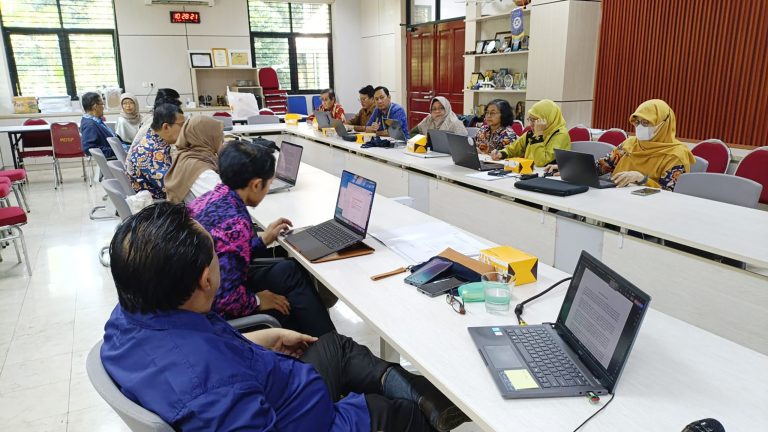
Participants included representatives from government agencies, educational institutions, the private sector, and individuals interested in the topic of Geospatial Information in Boundary Management. The seminar explored geospatial information in border management in Indonesia and is expected to provide participants with an understanding of conditions in border areas through geospatial aspects. In addition to the speakers mentioned above, several papers were presented.