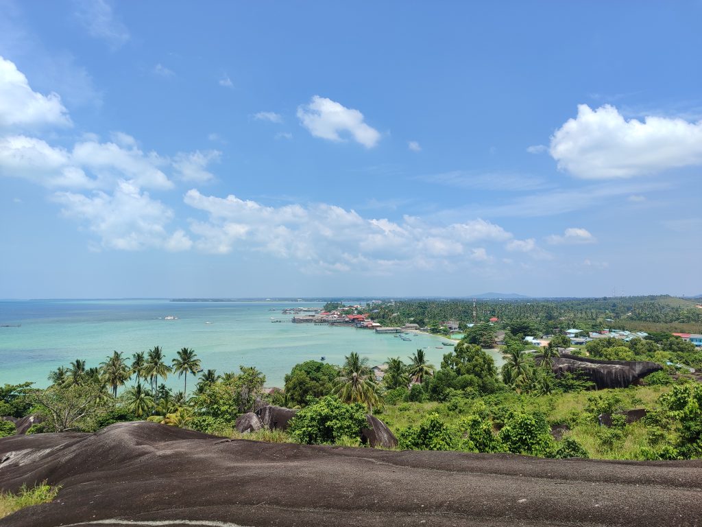
A research team from the Geology Study Program (Prodi) of the Faculty of Mathematics and Natural Sciences, University of Indonesia (FMIPA UI), conducted an exploration to the Natuna Islands, Riau Islands Province, to trace the geological history of Indonesia’s border region which still holds many mysteries.
The exploration, which took place from July 16–24, 2025, reached the Natuna Islands and smaller islands such as Tiga Island and Sedanau Island. A total of 35 geological observation points were successfully explored.

Led by Dr. Reza Syahputra, lecturer and Head of the Geology Study Program, FMIPA UI, the research team consisting of three other members, namely Ahmad Rizky Reynda, Mochamad Ikral Pamungkas, and Arham Anugrah Bahri, conducted an exploration of geological diversity (geodiversity) in the border regions of Indonesia which are still rarely studied.
“Geologically, Natuna is very unique. We suspect that the lower part of this region is a fragment of an ancient oceanic plate that has risen to the surface. This finding is important for understanding the history of the formation of western Indonesia,” said Dr. Reza, explaining the background of his research.
The team explored various ancient rock formations in coastal areas and remote islands. Several rock samples, such as gabbro and basalt, were collected for laboratory analysis. This research used a structural geology approach and the Anisotropy of Magnetic Susceptibility (AMS) method, which can reveal traces of stress and deformation in rocks based on the orientation of magnetic minerals within them.

Preliminary results indicate the presence of marine sedimentary rocks, granites over 70 million years old, and oceanic basement rocks of the ophiolite group. This combination makes Natuna a strategic location for studying the tectonic dynamics and geological history of Southeast Asia.
However, this exploration was not without challenges. Extreme weather in Natuna waters, particularly high waves and strong winds, made several observation points north of the island inaccessible. The team also had to travel to different locations by fishing boat, complicating the distribution of field equipment.
Nevertheless, most of the exploration targets were achieved. The data and samples brought back will be further analyzed in the Geology Laboratory of the Faculty of Mathematics and Natural Sciences, University of Indonesia.

This research is also part of a collaborative research project between the University of Indonesia (UI) and the University of Chinese Academy of Sciences (UCAS), which was previously conducted on Bangka Island. The results of this Natuna exploration will be published in an international scientific journal, with researchers from both institutions.
“In the future, the results of this Natuna exploration will be published in an international scientific journal and are expected to make a significant contribution to the development of earth science,” Dr. Reza concluded.
These findings are expected to provide important contributions to mapping geological potential, coastal spatial planning, and geological disaster mitigation strategies in Indonesia’s border areas.