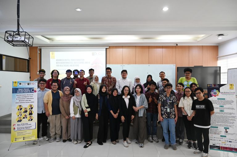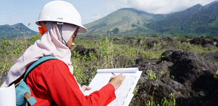

On Saturday (April 27, 2019), 54 fourth-semester students from the Geology Study Program, Faculty of Mathematics and Natural Sciences, University of Indonesia, conducted a field study at the foot of Mount Guntur, Garut, West Java. This activity was part of a combined Volcanology and Disaster Geology course they were taking this semester.
In the field lecture, they were guided by Dr. Ir. Igan Sutawidjaja, M.Sc., the Mount Guntur Observation Team belonging to the Center for Volcanology and Geological Hazard Mitigation (PVMBG), which is also part of the Guntur Volcano mapping team, to conduct a series of observations of eruptive material located right on the remaining lava flow of Mount Guntur around the Tarogong area.
M. Rizqy Septyandy, the accompanying lecturer, said that this activity was carried out to provide his students with a real-world picture of how volcanic eruptions occur and produce their materials.
Indonesia, Andi continued, is the country with the most active volcanoes in the world. This presents a challenge for the academic community to conduct various studies to minimize losses from volcanic eruptions.
Regarding the observation method itself, Andi explained that his students observed the appearance of rocks in macro by using tools such as loupes. This aims to identify the mineral content, texture, and structure of the lava flow.
In addition to conducting observations, the students also identified areas that could potentially be affected by an eruption of Mount Guntur if it were to occur at any time.
He hopes that with this activity, students will be able to understand how volcanoes work and how we should manage all the threats they pose.
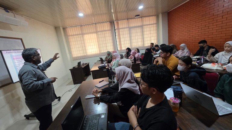
After conducting observations, the students also had the opportunity to visit the PVMBG Post, where they received an explanation of the various instruments used to monitor Mount Guntur’s activity.
Mount Guntur is a volcanic complex located in Garut Regency, West Java. It is located northwest of Garut City. Mount Guntur was the second most active volcano in Indonesia from 1800 to 1840, after Mount Lamongan.
During this period, at least 20 eruptions were recorded. The primary products of these eruptions were lava flows and volcanic ash. Since 1840, no eruptions have been recorded from this mountain, once painted by Franz Wilhelm Junghuhn.