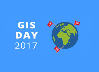
The UI Geography Study Group (KSG) UKM collaborated with Esri Indonesia and the Geospatial Information Agency (BIG), holding the GIS (Geographic Information Systems) Day 2017 event on November 17-18, 2017.
First held in Indonesia to commemorate the World GIS Day celebration which falls on Wednesday, November 15, 2017, the 2017 GIS Day event was packaged with various forms of events, namely: Talkshow, Student Competition, Amazing Race, Workshop, and GIS Gallery and Exhibition.
GIS Day is an international annual event that was first held on November 19, 1999.
Carrying the theme “Location-based Decision Making: A Technology to Enhance Sustainable Development“, the 2017 GIS Day event is expected to support and realize sustainable development in Indonesia, as well as being a forum for professionals and parties interested in geospatial technology to demonstrate GIS (Geographic Information System) applications that can provide positive changes and impacts for society.
The entire series of events is open to students, academics, researchers, entrepreneurs, and the general public who are interested in the development and application of geospatial technology in relation to sustainable development.
One form of event held isa technical workshopwhich focuses on understanding and applying the use of the ArcGIS Platform.
ArcGIS is a platform that integrates various complex GIS elements. In general, ArcGIS provides more comprehensive GIStoolsto facilitate interaction with spatial data.
ArcGIS is also equipped withcustomizationusing the Visual Basic Application (VBA) environment so that this platform becomes easier and more capable.
This is very helpful for users, because almost all GIS software usually requires GIS skills and knowledge to operate it and is also relatively expensive.
ArcGIS is very helpful for ordinary users because of its capabilities,user interface, and price which is still affordable for the general public.
GIS is a field of technology that combines geographic features with tabular data to map, analyze, and assess real-world problems using spatial data maps of the Earth’s surface.